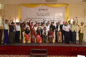
As activities for USAID’s Land Tenure Project (LTP) drew to a close, the project hosted a series of regional workshops to bring stakeholders together to reflect on their experiences in participatory mapping pilot activities and land legal awareness training. Meeting in Kalay, Sagaing Region; Pathein, Ayeyarwady Region; and, Taungyi, Shan State, LTP invited community members, government authorities, and locally led civil society organizations to share lessons learned from the year-long pilot activities. Participants reported on the linkages between mapping activities and their increased understanding of land tenure issues. They identified benefits associated with community-led land resource documentation, and the dialogue that was opened between government and community stakeholders surrounding land concerns.
Reflecting on the value of community-led land use mapping and land legal awareness training, a General Administration Department official from Pathein Township, Ayeyarwady Division noted, “We welcome [mapping and legal training] and want communities to understand the registration process and laws. We are now familiar with the mapping technique. Communities often don’t understand and will now be able to better discuss.”
Historically, mapping activities in Burma have been government-led and have employed opaque, top-down approaches, which do not take into account community perspectives or realities on the ground. As stakeholder meetings have reported, lessons learned from LTP pilot programs demonstrate potential for a shift from past land documentation processes. In place of outdated processes, communities are ready to advocate for participatory, bottom-up approaches that help local authorities become well-informed, true service providers in land and resource management.