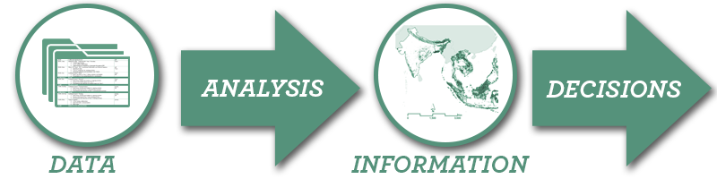
Geospatial analytics combines GIS technology with scientific methods and processes to transform data into visual, actionable information. The Land and Resource Governance (LRG) Division works with USAID missions and divisions, host country governments, communities and other partners to use geospatial analytics in the design, implementation, monitoring and evaluation of land and resource governance projects and challenges around the world. This equips policy makers and communities with the information needed to make decisions that protect investments and maximize impact.
Data Management
- Data and GIS needs assessment and recommended hardware and software solutions for projects and host-governments
- Coordination among project partners within all applicable policies to develop and implement data structures and standards
Applied Spatial Statistics and Geospatial Analysis
- Land cover and land use change analysis and modeling
- Suitability and risk analysis
- Satellite image analysis
Visualization of Information
- Thematic mapping
- Advanced statistical visualizations
- Interactive online mapping
Informing Decisions and Policy
- Determining land use allocation under conflicting objectives to maximize resources to meet objectives
- Modeling effects of land use changes on biodiversity and climate change during project implementation
- Optimizing land use management investment planning and risk assessment
- Geographic selectivity analysis as part of the project planning and design
- Empowering communities with scientifically derived land and resource information
Key Partners
USAID Global Development Lab GeoCenter, U.S. Department of Agriculture, Feed the Future
Geospatial Analysts
Ioana Bouvier – Senior Geospatial Analyst
 Ioana Bouvier is the lead for the LRG Division’s “fit-for-purpose” land technology applications and manages the Land Potential Knowledge System, an inter-agency agreement with USDA. She focuses on building capacity for geospatial analysis and sustainable technology solutions that advance land and resources governance, support resilient cities and foster integrated development planning. She also uses geospatial analysis to generate and apply evidence for programs that improve land transparency, identify key rural-urban links, promote responsible land investments and safeguard vulnerable populations, and support land and resources governance for climate change, biodiversity and natural resources initiatives. Learn More / Contact Ioana Bouvier.
Silvia Petrova – Geospatial Analyst
 Silvia Petrova serves as the LRG Division’s Geospatial Analyst and provides geospatial analytics and technology solutions assistance to missions, across land and urban portfolio and cross-sectoral programs. She focuses on generating new evidence through the use of innovative geospatial and technology approaches to support land and resource governance, sustainable urban services, and cross-sectoral programming for climate change, biodiversity and food security initiatives. Learn More / Contact Silvia Petrova.