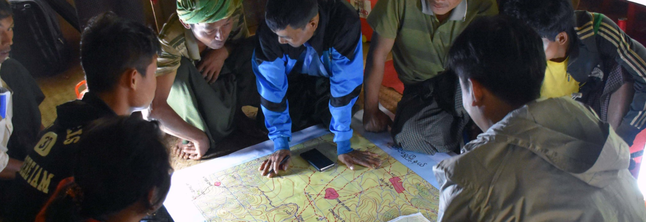
As USAID transforms, cross-sector programming is more important than ever, and this is especially true for environment programming. The USAID Office of Forestry and Biodiversity, and the Bureau for Latin America and the Caribbean, have developed a new guide that explains how to use geospatial analysis throughout the program cycle to support integration of biodiversity conservation with other development sectors.
Geospatial analysis is the gathering, display and analysis of data with a spatial component. These data range from satellite imagery, to global datasets on forest cover, to geographically referenced census information. In addition to its widespread use for program design, geospatial analysis is a powerful tool for bringing sectors together by visualizing and analyzing the overlaps between sectors.
This guide is intended both to support the work of geospatial specialists, and to help USAID staff make the case for geospatial analysis during integration for USAID technical offices, program offices, and front offices. Though the guide was written with biodiversity programming in mind, it has many lessons that might be broadly useful to USAID staff as they integrate their programs.
Download the Full Guide


