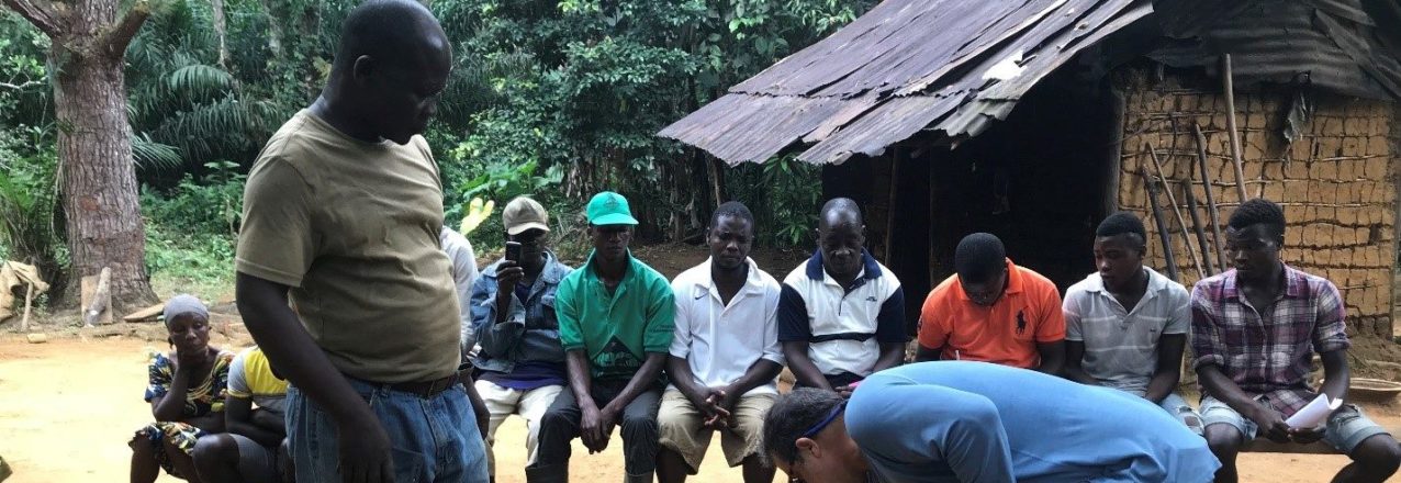
Recognizing the importance of community mapping in the proposed Land Rights Act and its general application to land reform in Liberia, the Sustainable Development Institute (SDI) conducted a one day GIS training workshop at the office of the Interim Land Task Force (ILTF) on November 28, 2016. The training was supported by Tetra Tech, under a USAID supported project, the Land Governance Support Activity (LGSA).
Twenty-four people benefited from the training: five community based GIS animators, four staff from ILTF, four staff from Tetra Tech/LGSA, three Monrovia based GIS trainees, two Tenure Facility staff and six SDI field and office staff.
The training was divided into two main sections. 1) concept and applications of the GIS materials and 2) field testing of GIS materials. Participants were given an introduction to GSI with a review of GIS concepts and associated tools, including opportunities and limitation of field applications, especially in rural areas.
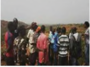
Participants were then led through a one hour field testing of these tools. Each trainee had the opportunity to use the available tools to collect data points. Those points were then entered into a GIS. Technical interactions included:
- A boundary walk through the Sinkor neighborhood;
- Collection of points of interest;
- A map with a date base behind it;
- Virtual representation of the real world and its infrastructure; and
- Satellite imaginary— looking down from the top.
After the training participants were urged to return to their communities and explain to their community members basic concepts and intent of the training. Community animators relayed to their communities that the training was just the beginning and that LGSA, through SDI, will officially introduce the activity in the field, and test the methodology in the coming months. The results of the pilot community mapping utilizing mobile technology will inform the larger methodology to recognize customary land rights, as identified by the National Land Rights Policy and the Draft Land Rights Bill currently before the Legislature.