In 2011, land administration expert Robin McLaren published a provocative paper that challenged land professionals to think more creatively about how to use local knowledge, local capacity, and technology to close a massive “tenure gap” and improve the tenure security of large numbers of households around the world. McLaren suggested that by using local volunteers to crowdsource land rights information, governments, donors, and communities could collaborate to close this gap using mobile cell phones—a near ubiquitous, portable, inexpensive, and flexible tool. To better ensure the authenticity of data collection efforts, McLaren also proposed using “local intermediaries,” who are trusted local people that would work directly with community members to collect and validate information. The locally produced data would then be made available either as a “shadow” registry or, for use by formal land administration offices.
USAID’s Mobile Technology Pilot is testing this bottom-up approach to help close the “tenure gap” on the ground in Tanzania. The pilot is developing a cloud-based database and a mobile application that can be used on a smartphone to map parcels and capture demographic and other information that the Government of Tanzania needs in order to issue a CCRO to families and individuals in rural Tanzania. CCROs should provide families with enhanced security and protect against wrongful transfers of land.
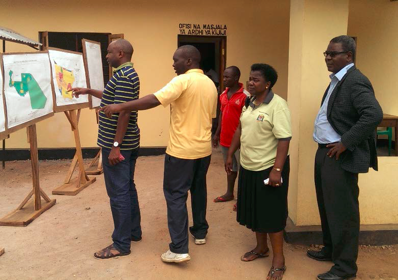
After discussions with officials from the Ministry of Lands and the National Land Use Planning Commission, pilot team members conducted site visits in Ulanga, Irigina and Mvomero to identify a pilot village. Based on a number of factors, including accessibility, number of households, number of parcels, capacity of the district land office and level of local conflict over land, the team decided to work with community members of Ilalasimba Village in Iringa Rural District.
With a site selection and the technical specifications for the mobile application completed, the project is planning the process of training local intermediaries and raising the awareness of Ilalasimba villagers about their land rights. Working with a local implementing partner, the project will highlight the importance to the community of recognizing women’s rights to land by recording their names along with the names of husbands, fathers, or brothers. This is especially important as Tanzania’s proposed new Constitution enshrines women’s rights to hold property securely. At the same time, the pilot will work with the District Land Office to ensure that the information that is being captured and stored in the cloud-based database meets government requirements for issuing formal documentation.
The technology and local approach to capturing land information will be tested in Ilalasimba later in 2014 and may be replicated in another Tanzanian village in 2015. If the MTP process meets the needs of the government for accurate and reliable information and the needs of local people for a transparent, trustworthy, and cost effective process to register rights, Mr. McLaren’s provocative approach may turn into a scalable solution.